The Amazon's hidden earthworks: 432 observed, thousands modeled
A new lidar survey changes the scale of the question. Here is what researchers saw, what they estimated, and why the difference matters.
The number that needs a qualifier
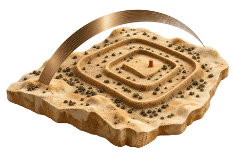
More than 20,000 earthworks is the headline, but it is not a count of 20,000 excavated monuments. In a 2026 Nature study, researchers combined airborne laser scanning with earlier archaeological records to estimate the density of geometric earthworks across a much larger part of southwest Amazonia. Their surveyed sample covered roughly 4,497 square kilometres. It yielded 432 earthworks, including 396 not previously documented. The larger regional total—reported as roughly 24,000 to 30,000—is an extrapolation from that evidence. Keeping observation and model apart is the first step toward reading the result accurately. Nature Portfolio ↗
How a forest survey sees a landscape
Lidar sends laser pulses from an aircraft and measures their returns to reconstruct ground topography beneath much of the forest canopy. It can reveal ditches, banks and enclosures that ordinary aerial imagery misses. Researchers still have to decide which shapes are cultural, compare them with known sites, and ground-check candidates where possible. Scanning is therefore a powerful discovery method, not an automatic archaeological verdict. The paper's contribution is the combination of new coverage and a regional model, not a claim that every predicted earthwork has been visited. Nature ↗
Why the scale matters
A landscape with hundreds of newly documented engineered features calls for a different account of how Indigenous communities occupied and modified the southwest Amazon. Earthen architecture can persist after buildings and perishable materials disappear, and forest cover has hidden much of that architecture from earlier surveys. The authors also model a peak regional population of about 1.25 million to 3 million around 100–300 CE. That range is not a census. It makes the relationship between settlements, soils, vegetation and water management a sharper research question. Nature ↗
What this does not establish
The mapped area represents a small fraction of Greater Amazonia, so these figures cannot simply be multiplied across the whole basin. A concentration of earthworks in one study region does not prove one centralized pan-Amazonian state, continuous occupation at every site, or a common function for every geometric form. Even the word civilization can hide variation among communities and periods. The strongest reading is narrower and more valuable: a tested survey substantially increases the documented footprint of one Indigenous-built landscape, while its wider population and site totals remain model dependent. Nature Portfolio ↗
The next evidence to watch
Independent survey blocks, ground verification, dated construction phases and environmental records can show where the model transfers and where it fails. Excavation can test whether apparently similar forms were built at the same time or served the same purposes. A careful follow-up should report the number newly observed separately from the number projected. That distinction makes a striking story more useful: it tells readers which claims can already be checked against mapped structures and which depend on assumptions that future fieldwork may revise. Nature ↗